!
Latest updates
kiwi Guarantee Book now and get protection against cancelations that would wouldn't get if you booked direct
Chiang Mai's Food Odyssey: Street Eats to Gourmet Feasts
Bangkok Airways to Resurrect Vital Flight Routes to Northern Thailand
Thai Vietjet Air: Exclusive May Offers for FUN Rewards Members
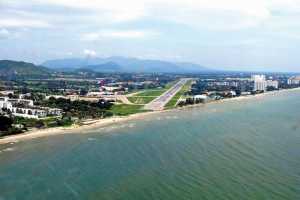
Hua Hin Airport anticipates surge in international flights after expansion
No more flights to Mae Hong Son
Really Cool Airlines to launch in December (Really!)
6 Steps to Grabbing Cheap Flights - DomesticFlightsThailand
Getting Around Bangkok
Koh Lanta: A Hidden Treasure Near Krabi
Sea, Sand, and Surf in Thailand: Top 5 Spots
All news
More travel guides
Regulatory Bodies Eye Closure Of Pirate Radio Stations
10th Jul 2015
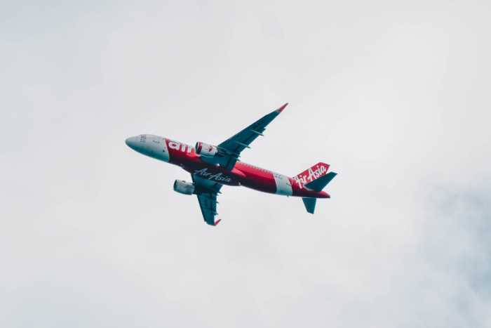
Thailand's broadcasting and transportation sectors are teaming up to stop illegal radio stations from conducting broadcasts that could interfere with air traffic control instructions.
Airline operations are exposed to great risks every time illegal radio stations operate using non-standard frequencies.
To avert this, government agencies in charge of regulating Thailand's transport and telecommunications sector have agreed to locate these stations and subsequently demand for their closure.
Prajin Juntong, Thailand's transport minister said that this initiative will be given top priority inasmuch as the safety and welfare of air passengers are at stake.
Frequencies coming from these stations could impede pilots and air traffic controllers from communicating with each other clearly, effectively, and without delay.
Takorn Tantashith, secretary general of the National Broadcasting and Telecommunications Commission (NBTC) revealed that his group will crack down on illegal transmitters or the so-called pirate radio stations.
These illegal transmitters can disrupt signals from radio navigation aids and other instruments.
The commission regulates community radio broadcasting by requiring transmission permits and imposing a maximum antenna height of 30 metres.
The secretary general revealed that his group will be spending 10 million baht to purchase and put up equipment that will help pinpoint any off-standard transmitters.
He expects to have 3,000 of these tech gadgets installed across the country within six months. Once in place, monitoring of illegal radio stations will be implemented 24 hours daily.
According to aeronautical radio experts, these pirate radio stations may also negatively affect buoys and beacons used in airport runways. When this happens, aircraft pilots run the risk of committing errors while takeoff or landing.
Meanwhile, another air traffic management expert disclosed that disturbances in navigational communications could badly alter vital information used by aircraft operators including those concerning altitudes, clearances, and landing instructions.
Related News


Thai Vietjet Air: Exclusive May Offers for FUN Rewards Members
Hua Hin Airport anticipates surge in international flights after expansion